Cycling near Wrocław

Bike trip

Information

  • Distance: 36.7 km
  • Duration: 5 h
  • Level: easy
  • Sum of ascentings: 204 m
  • Sum of descentings: 183 m
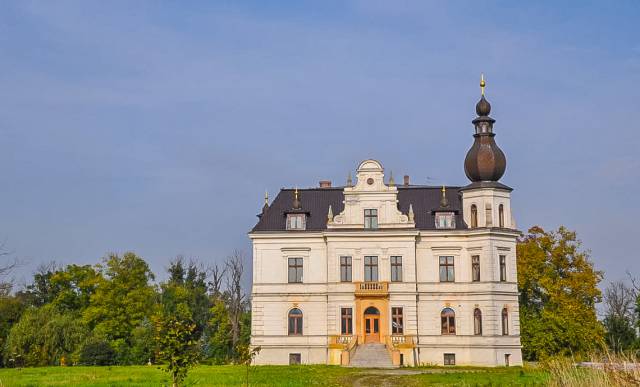
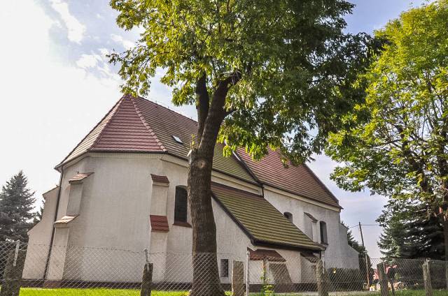
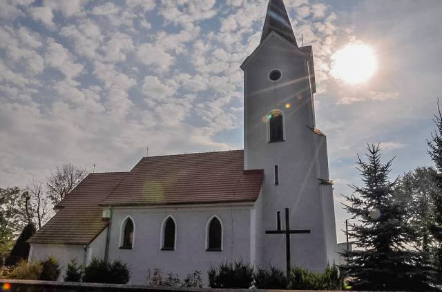
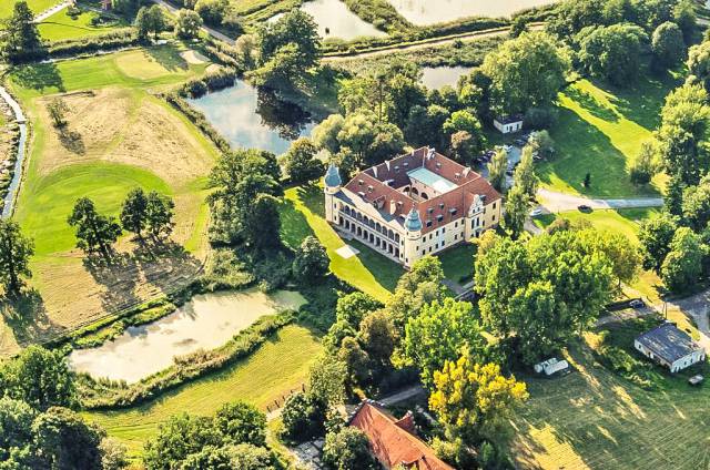
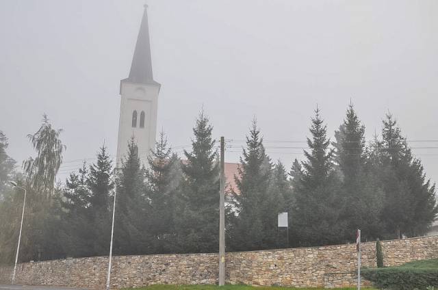
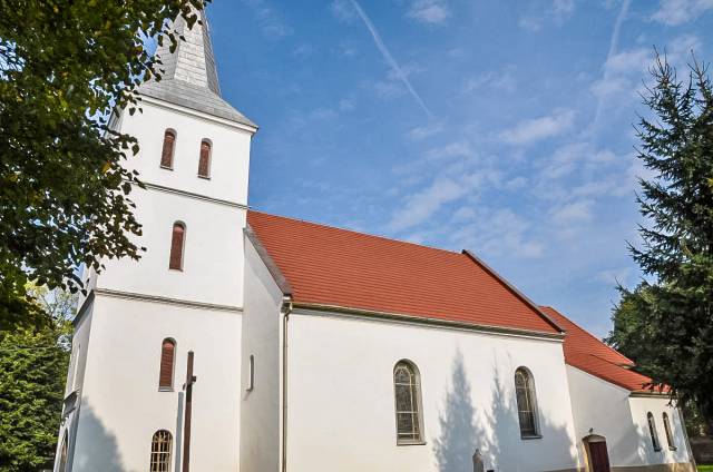
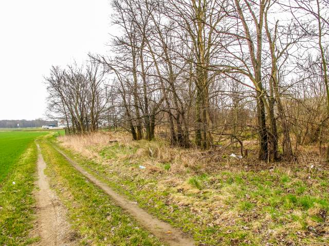
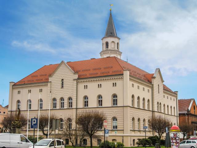
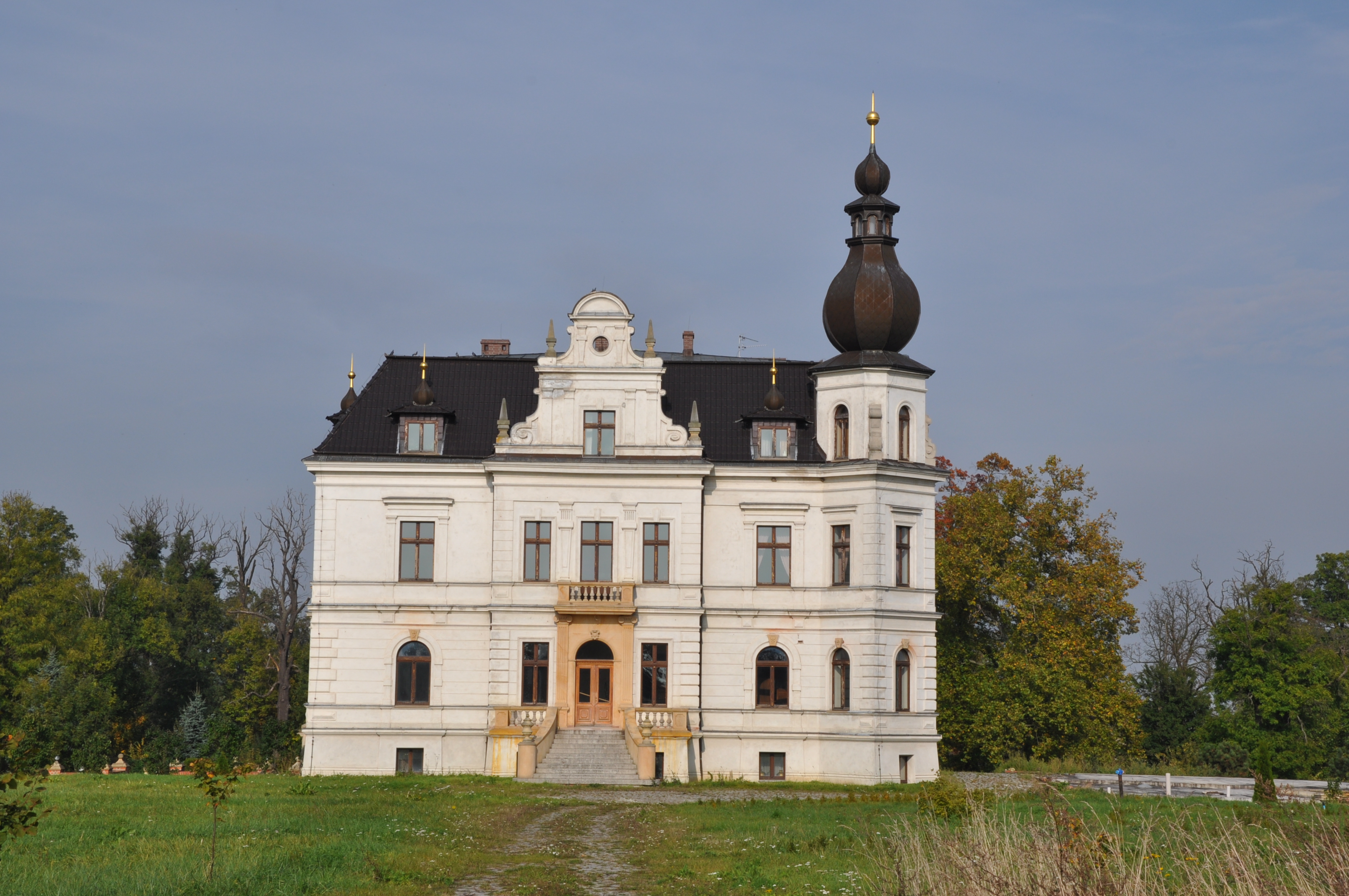
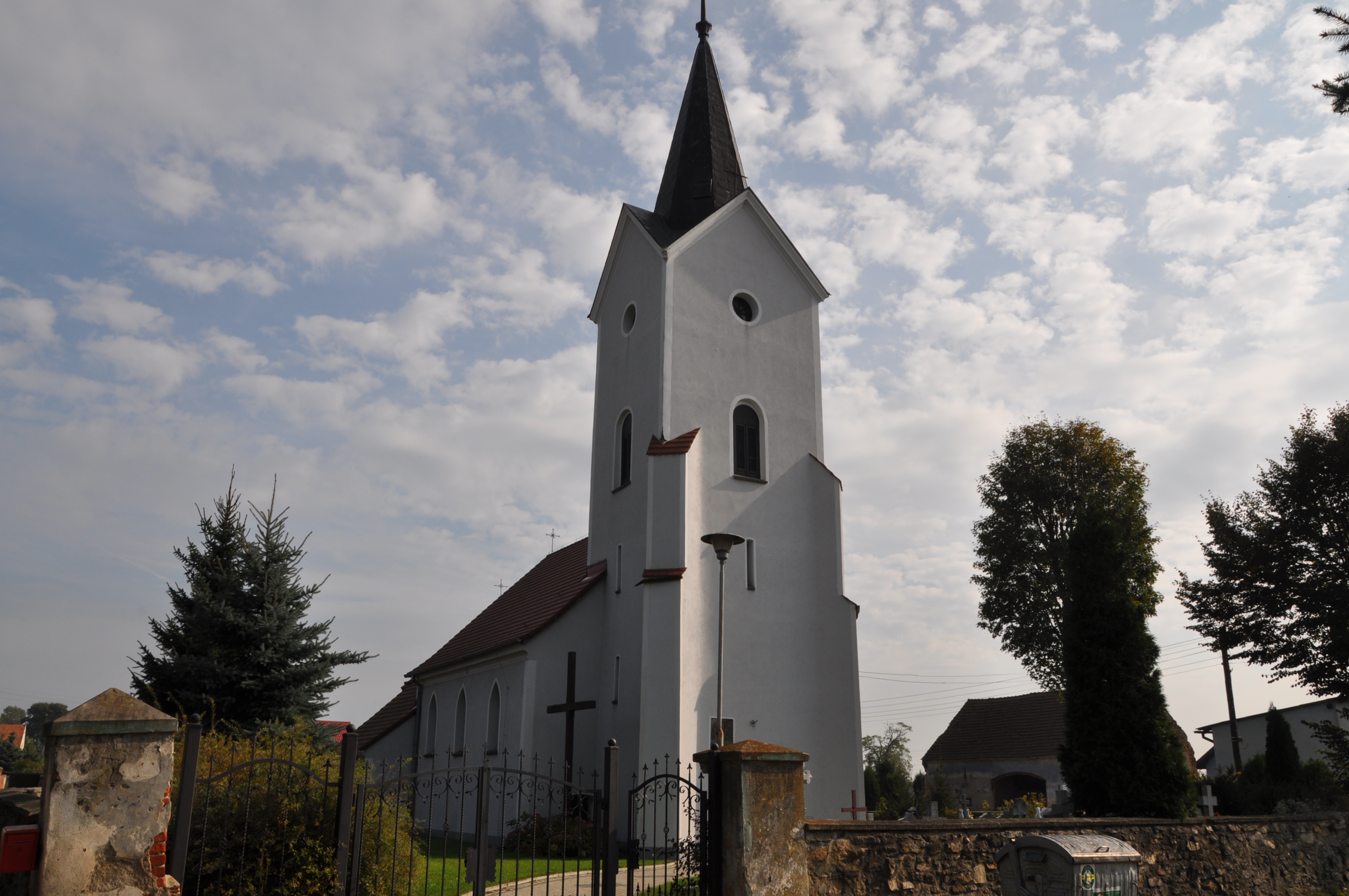
The trail is marked by the green cyclist symbol. The entire route is about 39 km long, running across mostly flat terrain, both on asphalt and dirt roads, through forests and fields. It starts at Osiedle Leśne in Smolec and ends in Kąty Wrocławskie, where the trail marks end. It is, however, possible to create a loop, by riding along road No. 347 from Kąty Wrocławskie, through Sadków to Pietrzykowice, where you can move along the trail markings back to the starting point. Some of the interesting spots on the trail, next to the market square in Kąty Wrocławskie (the local town hall), you can visit the palace in Korbielowice and historic churches (such as the ones in Zachowice and Wojtkowice).
distance (km) altitude m a.s.l.

Poi

Smolec Tennis Society"Retum"
Smolec
17th century palace
17th century palace
Biskupice Podgórne
Church of St. Stanislaus the Bishop in Strzeganowice
Strzeganowice
Church of St. John of Nepomuk in Wojtkowice
Wojtkowice
The Waterloo Museum in Krobielowice
Krobielowice
Church of St. Philomena in Gniechowice
Gniechowice
Church of the Assumption in Zachowice
Zachowice
Statue of St. John of Nepomuk
Kamionna
Penitential cross
Penitential cross
Kąty Wrocławskie
Gallows
Gallows
Kąty Wrocławskie
Town hall
Town hall
Kąty Wrocławskie
Market square, urban planning
Kąty Wrocławskie
Town park
Town park
Kąty Wrocławskie